The granite milestones marking the Mason-Dixon Line bear crests from the two parties involved in the land-grant dispute, the families of William Penn and Charles Calvert (also known as Lord Baltimore).
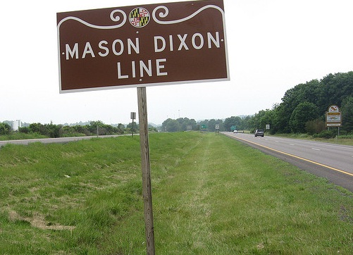
What is now generally referred to as the Mason-Dixon Line was established by the Missouri Compromise of 1820 as a demarcation between slave and free territories. But that important geographic border took its name from a previous Mason-Dixon Line; one established more than 50 years earlier to formally separate Maryland from Pennsylvania and Delaware. The two Englishmen for whom the line is named accomplished one of the greatest surveying achievements of early America.
Charles Mason and Jeremiah Dixon were both assistants to astronomer James Bradley at the Royal Conservatory at Greenwich. They were brought to America to settle a border dispute between the inheritors of the land grants establishing Maryland and Pennsylvania. Taking into account the curvature of the earth, the pair carried out extremely precise measurements using astronomical tables and angles based on circular arcs. Their method quickly became the basis for establishing other town and state boundaries, as well as the U.S.-Canada border.
Facts
- Mason and Dixon made use of relatively simple tools in carrying out their calculations. These include an instrument known as a zenith sector, made by an expert clock maker; a navigator's quadrant; a direction transit; an astronomical clock; wooden rods 16.5 feet long and equipped with spirit levels; and 66-foot chains.
- The granite milestones marking the Mason-Dixon Line bear crests from the two parties involved in the land-grant dispute, the families of both William Penn and Charles Calvert, also known as Lord Baltimore.
- The association of the Mason-Dixon Line with the border between the North and the South in the Civil War has led some to believe that "Dixie," a common nickname for the South, refers to the distinction drawn by the line. More reliable sources, however, trace the origins of "Dixie," and "Dixieland," to the use of French currency in the early 18th century in New Orleans -- in many ways the capital of the South before the Civil War -- where "dix," the French word for "ten," was printed on ten-dollar bills.
Resources
- Edwin Danson, Drawing the Line: How Mason and Dixon Surveyed the Most Famous Border in America ; John Wiley & Sons, 2000, ISBN 0471385026
- Thomas Pynchon, Mason and Dixon ; Henry Holt and Company, 1997, ISBN 0805037586
- William Ecenberger, Walkin' the Line: A journey from Past to Present along the Mason-Dixon ; M. Evans, 2000, ISBN 0871319101