
1747_Bowen_Map_of_the_Southeastern_United_States_(Carolina,_Georgia,_Florida)_-_Geographicus_-_CarolinaGeorgia-bowen-1747.jpg
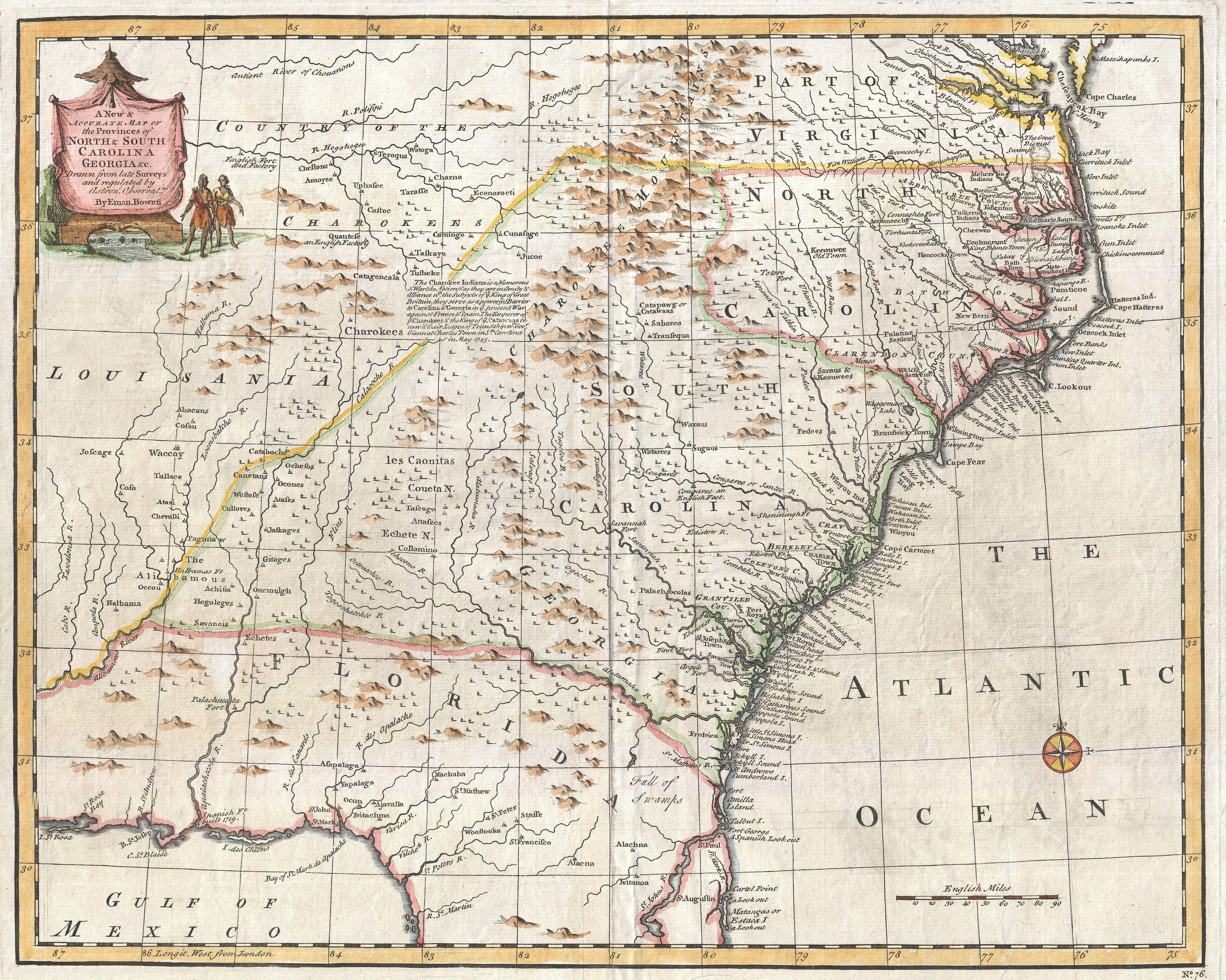 Emanuel Bowen's 1747 map showing the boundary between Virginia and North Carolina.
